|
Indus is one of twelve southern constellations mapped by Dutch explorer Frederick de Houtman and navigator Pieter Dirkszoon Keyser in 1595-97, formed into constellations by Dutch astronomer Petrus Plancius, and introduced to the world at large by Johann Bayer in his 1603 Uranometria.
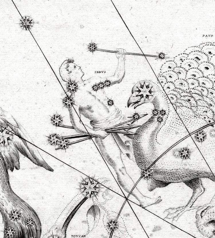
Historical Maps of Indus
From Bayer's 1603 Uranometria (Image from the USNO copy of the 1661 edition of Bayer's Uranometria)
From Bode's 1801 Uranographia (Image Credit and © Tartu Observatory Virtual Museum; used by permission)

Modern Map of Indus
Modified version of Wikimedia Commons map by Torsten Bronger
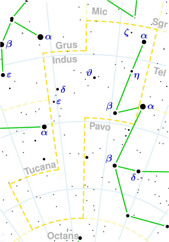
Constellations Bordering Indus
(to be added in the next iteration of this page)
Stars in Indus
Stars that have common names often have multiple names, so the common names shown (if any) cannot be considered authoritative. Right ascension and declination are given in 2000.0 coordinates.
α Ind
β Ind
γ Ind
δ Ind
ε Ind
|